
Garmin Montana 710i
Seen it cheaper elsewhere?
Request a Price Match - Click here.

Navigation on Trail and Road
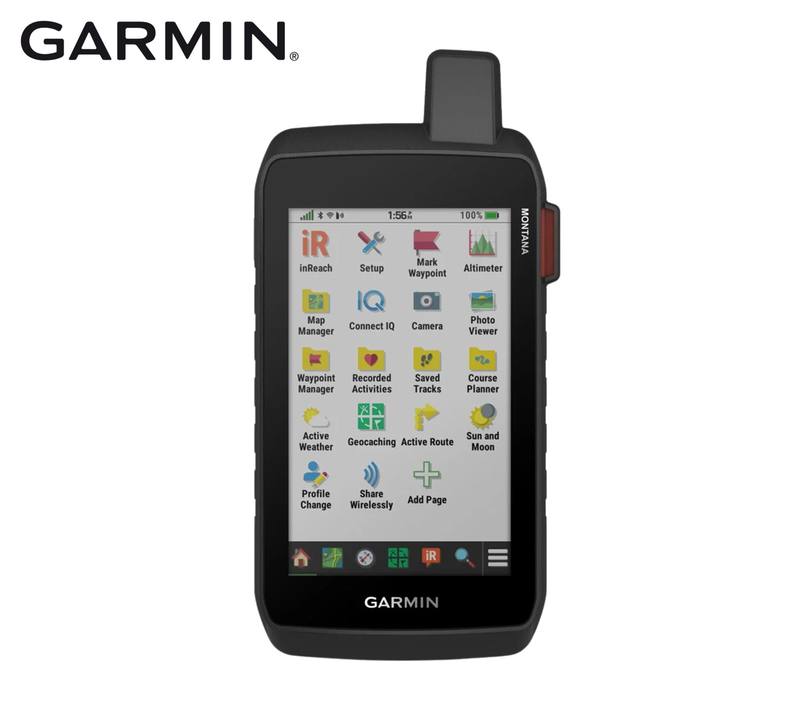
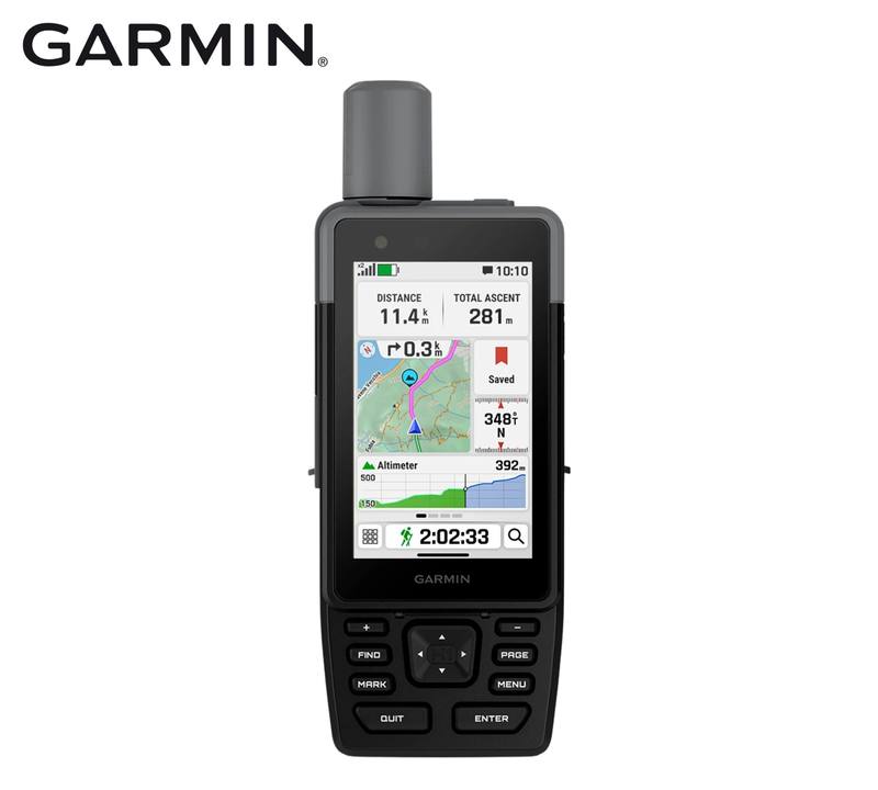
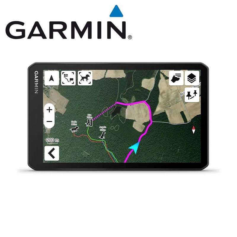
The Montana 710i brings Garmin's outdoor and road navigation into one large touchscreen handheld. Regional TopoActive mapping covers outdoor navigation, while City Navigator mapping supports road use. Additional TopoActive regions can be downloaded over Wi-Fi, and high-resolution satellite imagery can be downloaded directly to the device when you want a photographic view of the terrain around a route or waypoint.
The 5-inch glove-friendly touchscreen can be used in portrait or landscape orientation, giving you a larger map view whether the Montana is in your hand or paired with a compatible mounting solution. There is 32 GB of onboard memory for mapping and trip data, along with a microSD card slot when additional storage is required.
Communication Beyond Mobile Coverage
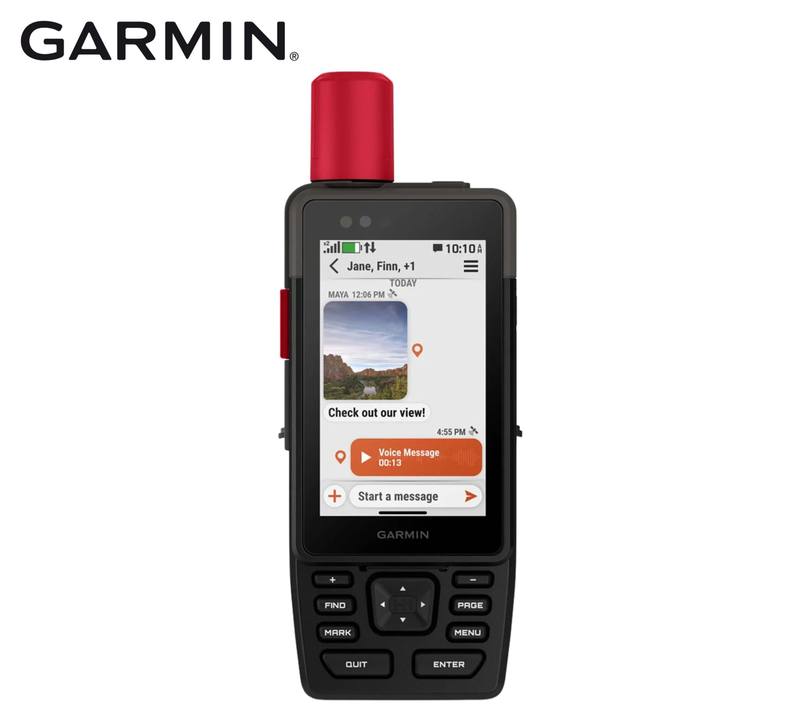
Built-in inReach technology gives the Montana 710i a communication layer alongside its navigation functions. With an active inReach subscription, it supports two-way text messaging, check-in and group messaging, location sharing, tracking, inReach weather and interactive SOS through the Iridium satellite network. An SOS connects with Garmin Response, Garmin's 24/7 emergency coordination centre.
Garmin Explore can be used to plan and review trip data and manage waypoints, courses and activities, while Garmin Messenger supports inReach messaging and can switch between Wi-Fi, mobile and satellite connections when available.
Built for Field Use
The Montana 710i uses an included 4350 mAh high-capacity rechargeable lithium-ion battery with up to 24 hours of operation in GPS mode, including when a text message or location is sent every 10 minutes. Charging and data connection use USB-C.
Its construction is tested to MIL-STD-810 requirements for thermal, shock, water and vibration, while the IPX7 water rating covers incidental exposure to water up to 1 m deep for up to 30 minutes. A 3-axis electronic compass, barometric altimeter, GPS and Galileo support add the navigation sensors needed for use away from formed roads.
Key Features
- Navigation for trail and road: Regional TopoActive and City Navigator mapping give the Montana 710i both outdoor and road-navigation capability in the same handheld.
- Built-in inReach communication: With an active subscription, use satellite messaging, location sharing, tracking, weather and interactive SOS beyond normal mobile coverage.
- 5-inch glove-friendly touchscreen: The large touchscreen supports portrait and landscape orientation for handheld or mounted navigation.
- Expandable mapping: Download additional TopoActive regions and direct-to-device satellite imagery over Wi-Fi, with Outdoor Maps+ also supported as an optional subscription.
- 24-hour GPS battery life: The included 4350 mAh high-capacity lithium-ion battery is rated for up to 24 hours in GPS mode, including with a message or location sent every 10 minutes.
- Field-ready construction: MIL-STD-810 testing covers thermal, shock, water and vibration, while IPX7 covers incidental immersion to 1 m for up to 30 minutes.
- Navigation sensors: GPS and Galileo work alongside a barometric altimeter and tilt-compensated 3-axis electronic compass.
- 32 GB onboard memory: Provides space for mapping and navigation data, with a microSD card slot available for additional storage.
Specifications
| Specification | Detail |
| Brand | Garmin |
| Model | Montana 710i |
| Product Type | Rugged handheld GPS navigator with inReach technology |
| Manufacturer Part Number | 010-02964-02 |
| Camera | No |
| Dimensions | 9.19 x 18.30 x 3.27 cm |
| Weight | 410 g with included lithium-ion battery pack |
| Display Size | 6.48 x 10.80 cm; 12.70 cm / 5-inch diagonal |
| Display Resolution | 480 x 800 pixels |
| Touchscreen | Yes, glove-friendly |
| Display Orientation | Portrait and landscape |
| Battery Type | High-capacity rechargeable lithium-ion |
| Battery Capacity | 4350 mAh |
| GPS Mode Battery Life | Up to 24 hours, including with a text message or location sent every 10 minutes |
| Interface | USB-C |
| Internal Memory | 32 GB; available user space varies with installed mapping |
| External Storage | microSD card slot |
| Satellite Systems | GPS and Galileo |
| Electronic Compass | Tilt-compensated 3-axis |
| Barometric Altimeter | Yes |
| GPS Compass While Moving | Yes |
| Wireless Connectivity | Wi-Fi, Bluetooth and ANT+ |
| Preloaded Mapping | Regional TopoActive and City Navigator maps |
| Additional TopoActive Mapping | Multi-continent regions available for download |
| Satellite Imagery | Direct-to-device downloads supported |
| Additional Maps | Purchased compatible maps can be added |
| Outdoor Maps+ | Compatible; subscription sold separately |
| Map Segments | Up to 15,000 |
| Waypoints | Up to 10,000 |
| Courses | Up to 250; up to 200 course points per course |
| Saved Tracks | Up to 250 |
| Track Data | Up to 20,000 points per track; up to 300 saved FIT activities |
| Automatic Routing | Supported for compatible outdoor and road-navigation mapping |
| inReach Satellite Network | Iridium |
| Two-Way Messaging | Yes; active inReach subscription required |
| Group Messaging | Yes; active inReach subscription required |
| Interactive SOS | Yes; active inReach subscription required |
| Location Sharing | Yes; active inReach subscription required |
| inReach Weather | Yes; active inReach subscription required |
| MapShare | Compatible with tracking |
| LiveTrack | Compatible with tracking |
| Garmin Explore | App and website compatible |
| Garmin Messenger | Compatible |
| Smart Notifications | Supported with a compatible paired smartphone |
| Connect IQ | Supported |
| LED Beacon Flashlight | Yes |
| DogTrack | Can receive data from a compatible handheld dog tracking device |
| Xero Support | Compatible Xero device data supported |
| Applied Ballistics Device Support | Compatible rangefinders and wind sensors supported |
| External Antenna Port | External Iridium and GNSS antenna connection |
| Water Rating | IPX7; incidental exposure to water up to 1 m for up to 30 minutes |
| MIL-STD-810 | Yes; thermal, shock, water and vibration |
| Operating Temperature | -20 to 60 degrees C |
Items Included
- 1 x Garmin Montana 710i
- 1 x High-capacity 4350 mAh lithium-ion battery pack
- 1 x USB-C to USB-C cable
- 1 x Documentation
Compatibility
- Garmin Explore app and Garmin Explore website for compatible trip planning, data management and inReach account functions.
- Garmin Messenger app for supported inReach messaging functions.
- Garmin Connect app supports compatible connected features including smart notifications and weather.
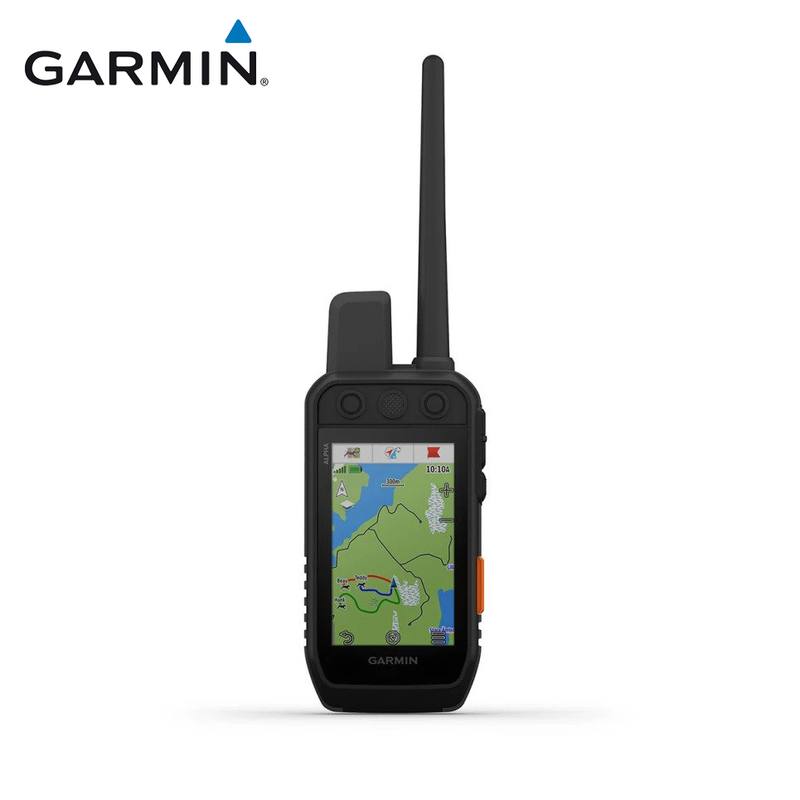
- Can receive DogTrack data from a compatible Garmin handheld dog tracking device.
- Supports compatible Xero devices and Applied Ballistics devices such as supported rangefinders and wind sensors.
- Compatible Montana mounting solutions are available separately for supported vehicle and activity setups.