

Garmin eTrex Touch
Seen it cheaper elsewhere?
Request a Price Match - Click here.

Mapping at Your Fingertips
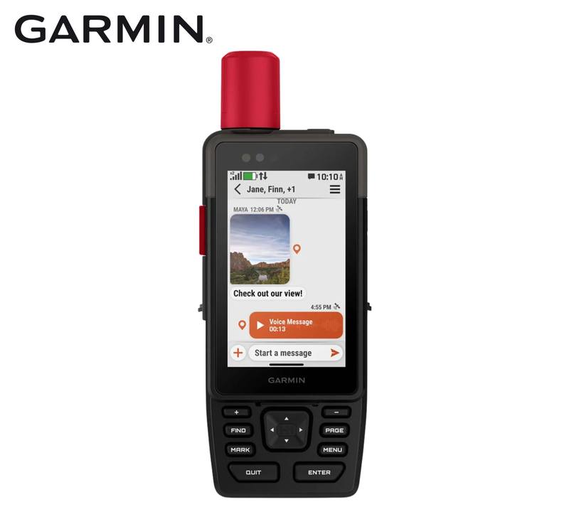
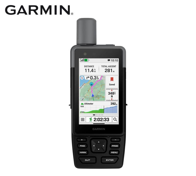
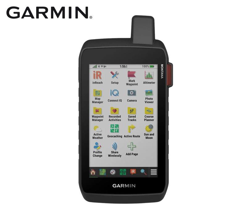
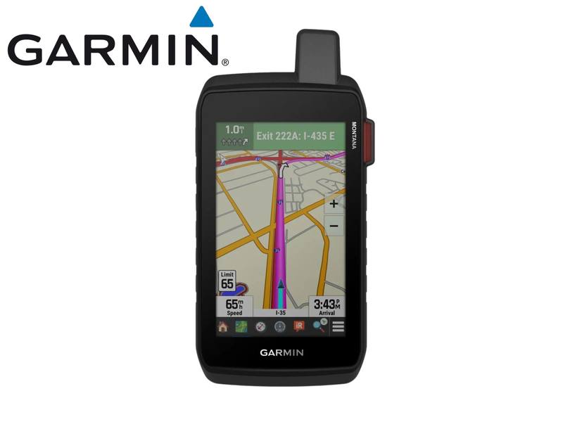
The eTrex Touch puts detailed navigation into a compact handheld with a 3-inch colour touchscreen that lets you swipe and zoom through routes and maps. Preloaded routable TopoActive mapping covers roads and trails and includes terrain, elevation, hydrographic features, parks and searchable points of interest. Automatic road routing, point-to-point navigation and TracBack give you several ways to work with routes directly on the handheld.
Positioning and Trip Planning
Multi-band frequency support works across GPS, GLONASS, Galileo, QZSS, BeiDou and IRNSS, and the built-in compass and barometric altimeter add directional and elevation information. Pair the eTrex Touch with Garmin Explore to plan and review trips and manage waypoints, courses and activities. Wi-Fi support also allows compatible Outdoor Maps+ content to be downloaded and updated when a subscription is active.
Ready for Extended Outdoor Use
The rechargeable internal battery is rated for up to 130 hours in all satellite systems plus multi-band mode, assuming typical use with SatIQ technology, and up to 650 hours in Expedition mode. The IP67 rating provides protection against dust ingress and withstands incidental water exposure up to 1 m for up to 30 minutes. Garmin also specifies an impact-resistant design tested to MIL-STD-810.
Key Features
- 3-inch colour touchscreen: Swipe and zoom through routes and mapping on the 240 x 400 pixel transflective TFT display.
- Preloaded routable TopoActive maps: Provides road and trail mapping with terrain information, hydrographic detail, parks and searchable points of interest.
- Multi-band GNSS positioning: Uses multiple satellite frequencies to improve positioning accuracy and reliability, particularly in difficult terrain or areas with an obstructed view of the sky.
- Up to 130 hours in multi-band mode: The rechargeable battery is rated for up to 130 hours under typical SatIQ use, with up to 650 hours available in Expedition mode.
- IP67 and MIL-STD-810 design: Combines dust and incidental-water protection with an impact-resistant design specified to MIL-STD-810.
- Garmin Explore and wireless connectivity: Supports trip planning and data management through Garmin Explore, with Wi-Fi, Bluetooth Low Energy and ANT connectivity.
- Outdoor navigation tools: Includes a compass, barometric altimeter, TracBack, Geocache Live, GPX import and custom-map support.
Specifications
| Specification | Detail |
| Brand | Garmin |
| Model | eTrex Touch |
| Product Type | GPS handheld navigator |
| Part Number | 010-02940-01 |
| Dimensions | 66 x 105.4 x 24.6 mm |
| Weight | 150 g |
| Lens Material | Chemically strengthened glass |
| Water Rating | IEC 60529 IP67; protection against dust ingress and incidental water exposure up to 1 m for up to 30 min |
| Impact Resistance | MIL-STD-810 impact-resistant design |
| Touchscreen | Yes |
| Display Type | 3-inch transflective colour TFT |
| Display Size | 3.88 x 6.48 cm; 7.62 cm diagonal |
| Display Resolution | 240 x 400 pixels |
| Battery Type | Rechargeable built-in lithium-ion |
| Battery Capacity | 2120 mAh at 3.87 V |
| Battery Life | Up to 130 hours in all satellite systems plus multi-band mode under typical SatIQ use; up to 650 hours in Expedition mode |
| Operating Temperature | -20 to 60 C |
| Charging Temperature | 0 to 45 C |
| Memory/History | 32 GB; available user space varies with included mapping |
| Interface | USB-C |
| Preloaded Maps | TopoActive, routable |
| Basemap | Yes |
| Additional Maps | Supported |
| Map Segments | Up to 15,000 |
| Automatic Routing | Turn-by-turn road routing for outdoor activities |
| Point-to-Point Navigation | Yes |
| TracBack | Yes |
| Satellite Imagery | Available through an Outdoor Maps+ subscription |
| Map Detail | Hydrographic features, searchable points of interest, parks, forests and wilderness areas |
| Waypoints | Supported |
| Courses | Unlimited |
| Activities | Unlimited |
| Activity Profiles | Yes |
| GPX Import | Yes |
| Custom Maps | Up to 500 custom map tiles |
| GNSS Systems | GPS, GLONASS, Galileo, QZSS, BeiDou, IRNSS |
| Multi-Band Frequency | Yes |
| High-Sensitivity Receiver | Yes |
| GPS Compass While Moving | Yes |
| Barometric Altimeter | Yes |
| Compass | Yes |
| Geocaching | Geocache Live |
| Outdoor Tools | Area calculation, sun and moon information, picture viewer |
| Wireless Connectivity | Wi-Fi, Bluetooth Low Energy, ANT |
| Garmin Explore | Compatible with Garmin Explore app and website |
| Garmin Connect Mobile | Compatible |
| Connected Features | Smart notifications, weather forecasts, Garmin Share, LiveTrack |
| Connect IQ | Supported |
| Passcode | Supported |
| Text Input Features | Auto Correct, Next Word, Auto Complete |
| Tactical Features | Dual grid coordinates, night vision mode |
| Applied Ballistics | Compatible with AB Quantum - Garmin; ballistics solver requires an unlock |
| Wireless Radio | 2.4 GHz, less than 20 dBm |
| EU SAR | Body 0.085 W/kg; limb 0.085 W/kg |
| Mounting Interface | Integrated Spine Mount 2 |
Items Included
- 1 x USB-C charging/data cable
- 1 x Documentation
Compatibility
| Compatibility Area | Confirmed Requirement |
| Garmin Explore | Compatible with the Garmin Explore app and website |
| Garmin Connect Mobile | Supported |
| Outdoor Maps+ | Supported; an active subscription is required for premium mapping content and satellite imagery |
| Mounting | Integrated Spine Mount 2 for compatible optional accessories |
| Applied Ballistics | Compatible with AB Quantum - Garmin; ballistics solver requires an unlock |