
Garmin GPSMAP H1
Seen it cheaper elsewhere?
Request a Price Match - Click here.

Navigate with Touch or Buttons
The GPSMAP H1 delivers detailed handheld navigation without making you depend on one control method. The sunlight-readable 8.9 cm colour touchscreen lets you tap, zoom and move around maps, while the physical buttons remain available when wearing gloves or the conditions make touchscreen use less practical.
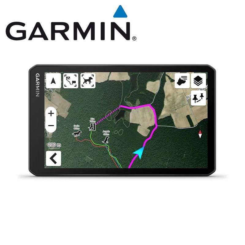
Preloaded TopoActive maps for Australia and New Zealand show terrain, elevations and geographic points, with high-resolution satellite imagery available for direct download over Wi-Fi. You can also add further TopoActive regions or optional Outdoor Maps+ content when you need more mapping detail.
More Time Between Charges
For longer trips, Garmin rates the H1 for up to 145 hours in All Satellite Systems + Multi-Band mode with typical SatIQ use, extending to as much as 840 hours in Expedition Mode. Multi-band positioning works with multiple satellite systems, while the built-in barometric altimeter, 3-axis compass and other navigation tools add more information around your position and route.
The IP67 rating means the device is protected against dust ingress and can withstand incidental exposure to water up to 1 metre deep for up to 30 minutes. Garmin also lists MIL-STD-810 testing for thermal, shock and water on the bare unit.
Plan, Share and Extend the System
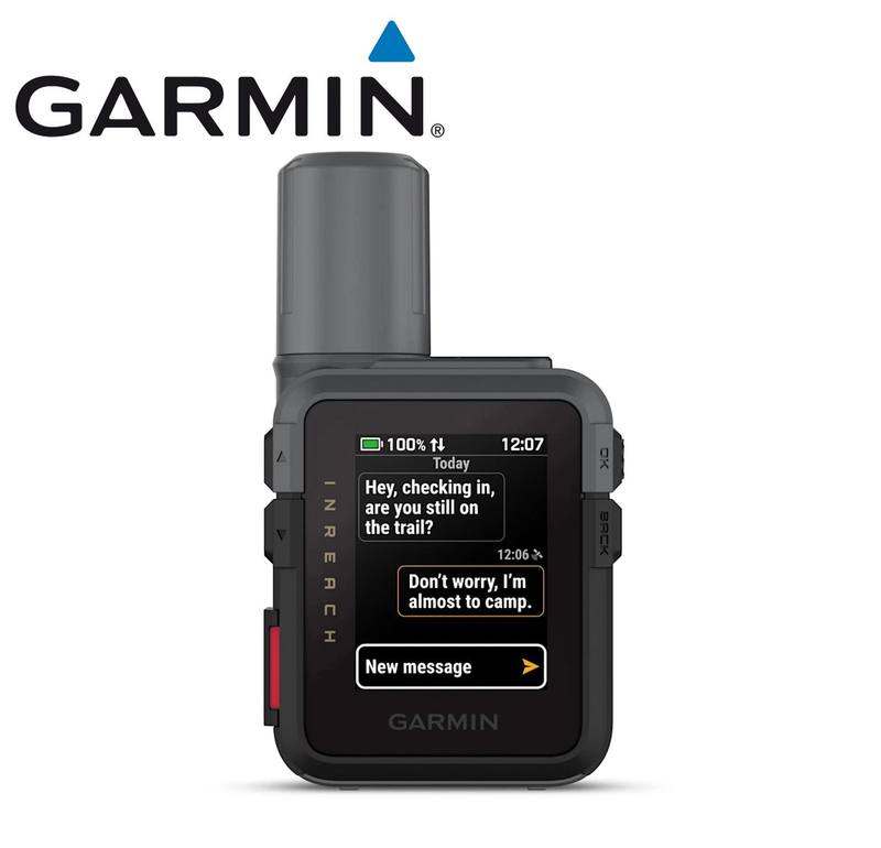
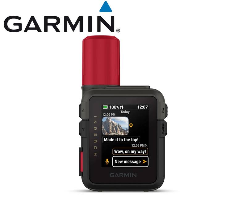
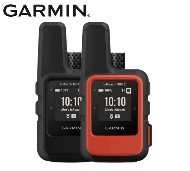
Garmin Explore adds trip planning, geographic-point management and route sharing, while LiveTrack can share your location when the H1 is paired with a compatible smartphone with an active mobile connection. The H1 can also work as a remote for a compatible inReach device, but it does not have its own built-in inReach Plus satellite communication.
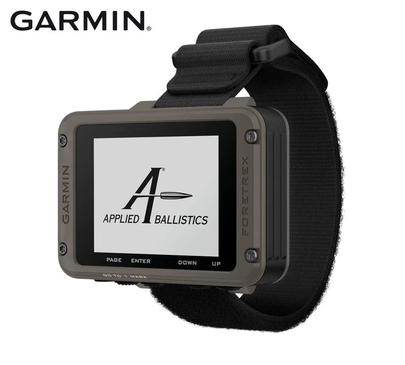
For customers who use Garmin's shooting tools, the GPSMAP H1 can also run Applied Ballistics after the required separate unlock, with AB Quantum used for compatible setup and management.
Key Features
- Hybrid touchscreen and button control: Combines an 8.9 cm sunlight-readable colour touchscreen with physical buttons, giving you two ways to work through maps and menus.
- Australia and New Zealand TopoActive maps: Preloaded mapping covers terrain contours, elevations and geographic points, with additional regions available through Map Manager.
- Direct satellite imagery: High-resolution satellite imagery can be downloaded straight to the device over Wi-Fi.
- Multi-band, multi-GNSS positioning: Supports multiple satellite constellations and multi-band frequencies for Garmin's advanced positioning system.
- Up to 145 hours in navigation mode: Rated for up to 145 hours with All Satellite Systems + Multi-Band and typical SatIQ use, or up to 840 hours in Expedition Mode.
- IP67 protection: Protected against dust ingress and incidental water exposure up to 1 metre for up to 30 minutes.
- Applied Ballistics capable: The ballistics solver can be unlocked separately and works with the AB Quantum system.
- Built-in outdoor tools: Includes a barometric altimeter, 3-axis compass, LED flashlight, safety siren, TracBack and geocaching support.
Specifications
| Specification | Detail |
| Brand | Garmin |
| Model | GPSMAP H1 |
| Product Type | Premium handheld GPS navigator |
| Part Number | 010-02920-01 |
| inReach Plus Technology | No built-in inReach Plus satellite communication |
| Dimensions | 6.7 x 17.9 x 3.3 cm |
| Weight | 276 g |
| Lens Material | Chemically strengthened glass |
| Water Rating | IP67 - protected against dust ingress and incidental exposure to water up to 1 m for up to 30 minutes |
| MIL-STD-810 | Yes - thermal, shock and water; bare unit only |
| Operating Temperature | -20 to 60 degrees C |
| Charging Temperature | -15 to 60 degrees C |
| Touchscreen | Yes |
| Display Type | Transflective colour TFT |
| Display Size | 4.7 x 7.7 cm; 8.9 cm diagonal |
| Display Resolution | 282 x 470 pixels |
| Battery Type | Rechargeable internal lithium-ion |
| Battery Life | All Satellite Systems + Multi-Band: up to 145 hours; Expedition Mode: up to 840 hours; based on typical use with SatIQ |
| Internal Memory | 64 GB; user space varies with included mapping |
| External Memory | microSD card support up to 1 TB |
| Interface | USB-C |
| Preloaded Mapping | TopoActive maps for Australia and New Zealand |
| Mapping Support | Basemap, additional downloadable maps, automatic road routing for outdoor activities and up to 15,000 map segments |
| Satellite Imagery | Direct-to-device downloads supported |
| Map Detail | Detailed hydrographic features, searchable points of interest, parks, forests and wilderness-area information |
| User Navigation Data | Waypoints supported; unlimited courses and activities; activity profiles supported |
| Data Support | GPX imports and RINEX logging |
| Satellite Systems | GPS, GLONASS, Galileo, QZSS, BeiDou and IRNSS/NavIC |
| Positioning | Multi-band frequency support and high-sensitivity receiver |
| Navigation Sensors | Barometric altimeter, tilt-compensated 3-axis compass and GPS compass while moving |
| Navigation Features | Point-to-point navigation, spoken turn-by-turn directions, TracBack, area calculation and sun/moon information |
| Geocaching | Geocache Live supported |
| Custom Maps | Up to 500 custom map tiles |
| Connect IQ | Supported |
| Smart Features | Smart notifications, weather forecasts, Garmin Share, passcode and predictive keyboard functions |
| Garmin Connect | Compatible with Garmin Connect Mobile |
| LiveTrack | Supported |
| Safety Siren | Yes |
| Flashlight | Built-in LED beacon flashlight and torch |
| Applied Ballistics | Ballistics solver supported; separate unlock required; compatible with AB Quantum |
| Tactical Features | Dual grid coordinates and night vision mode |
| inReach Remote | Compatible with supported inReach devices; does not provide built-in inReach communication |
| Garmin Explore | Compatible with Garmin Explore app and website |
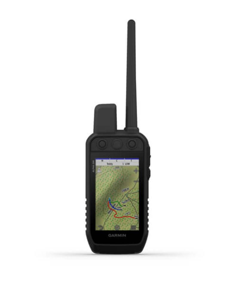
| Dog Tracking | Supported when paired with a compatible dog tracking system |
| Wireless Connectivity | Wi-Fi, Bluetooth and ANT+ |
| Mounting System | Integrated Spine Mount 2 |
| Security Updates | Supported until at least 3 September 2027 |
Items Included
- 1 x Garmin GPSMAP H1
- 1 x Loop carabiner
- 1 x USB cable
- 1 x Documentation
Compatibility
| Compatibility Area | Confirmed Requirement |
| Garmin Explore | Compatible Garmin Explore app or website; some connected functions require Wi-Fi or a paired smartphone with mobile service |
| Garmin Connect | Compatible paired smartphone required for connected functions such as LiveTrack |
| inReach Remote | Requires a separate compatible inReach device; the GPSMAP H1 does not contain built-in inReach Plus satellite communication |
| Applied Ballistics | Requires a separate Applied Ballistics unlock; AB Quantum is used for compatible management |
| Dog Tracking | Requires a compatible Garmin dog tracking system |
| Mounting Accessories | Compatible with Spine Mount 2 accessories |